ScanScape™
DroneScape utilized ScanScape™, a trademarked process, in performing building scanning services using drone technology and visual envelope imagery.Tiered Offerings
Level 1
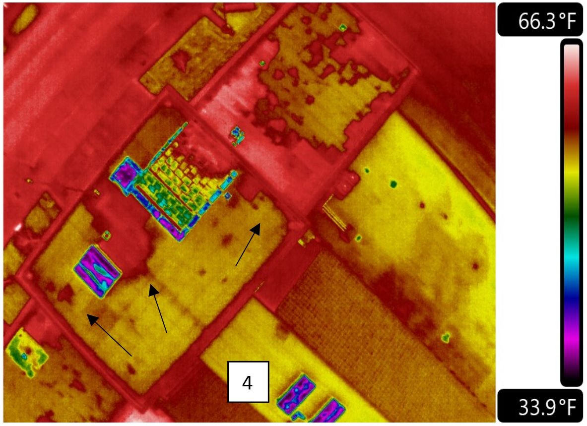
High resolution thermographic (infrared) with
unmanned aerial vehicle capability. Video and RGB photographic unmanned aerial vehicle capability. Identification of areas of energy loss by showing temperature variations within the building. Rooftop safety inspections with unmanned aerial vehicles. Map the building façade for cracks and other damage. 2D and 3D virtual model of the building. Engagement of specialized technical experts. Depending on initial findings, Professional Engineer final analysis and report.
Level 2
Verification of thermal findings through core samples and other ASTM approved test methods. Source qualified repair contractors, obtain competitive quotes. Professional Engineer final analysis and assessment. Comprehensive easy to understand report.
Level 3
3D models and AutoCAD documentation

